At RDA delivering reliable and accurate Survey Data is the foundation of what we do. Cutting edge Technology and rapid Data Capture techniques ensure we deliver multiple, value-added deliverables across all our Projects from inception to final delivery.
Robust Survey Practice, combined with the latest Technology, allows Intersect Surveys deliver highly accurate Topographical Surveys for small & large-scale Engineering Projects, Architectural Design Phases, & Planning Developments.
We produce Topographic Mapping to accurately determine ground relief, provide contour mapping, and map the location of natural & man-made features across Construction & Development Sites.
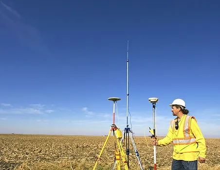
At RDA Surveys we use integrated Leica Robotic Total Stations, GNSS, 3D Laser Scanning & GPR Technology to efficiently capture Survey Data in two or three dimensions, with the output available in a range of industry formats to meet any Project specification.
These maps aid in the Planning & Design process for Architectural & Engineering purposes, and we can provide any level of detail, accurately Surveyed, edited, & presented to suit your needs.